 Caves, terraces, waterfalls and wild places of Vietnam, season by season
Understand
Weather and site closures: typhoons, floods and landslides
Three kinds of weather close Vietnam's natural sites: typhoons on the coast, floods in the centre and landslides in the mountains. Each has a season and a set of places it hits. Knowing them is the difference between a lost day and a lost trip.
The three hazards
| Hazard | Main season | Where it matters for this guide | What it closes |
|---|---|---|---|
| Typhoons and tropical storms | Normally May to November | Coastal provinces, including the Phong Nha area | Boats, roads, flights; caves after the rain |
| Seasonal floods | October and November in the centre | Phong Nha–Ke Bang, Hue, Bach Ma | River caves, treks, low roads |
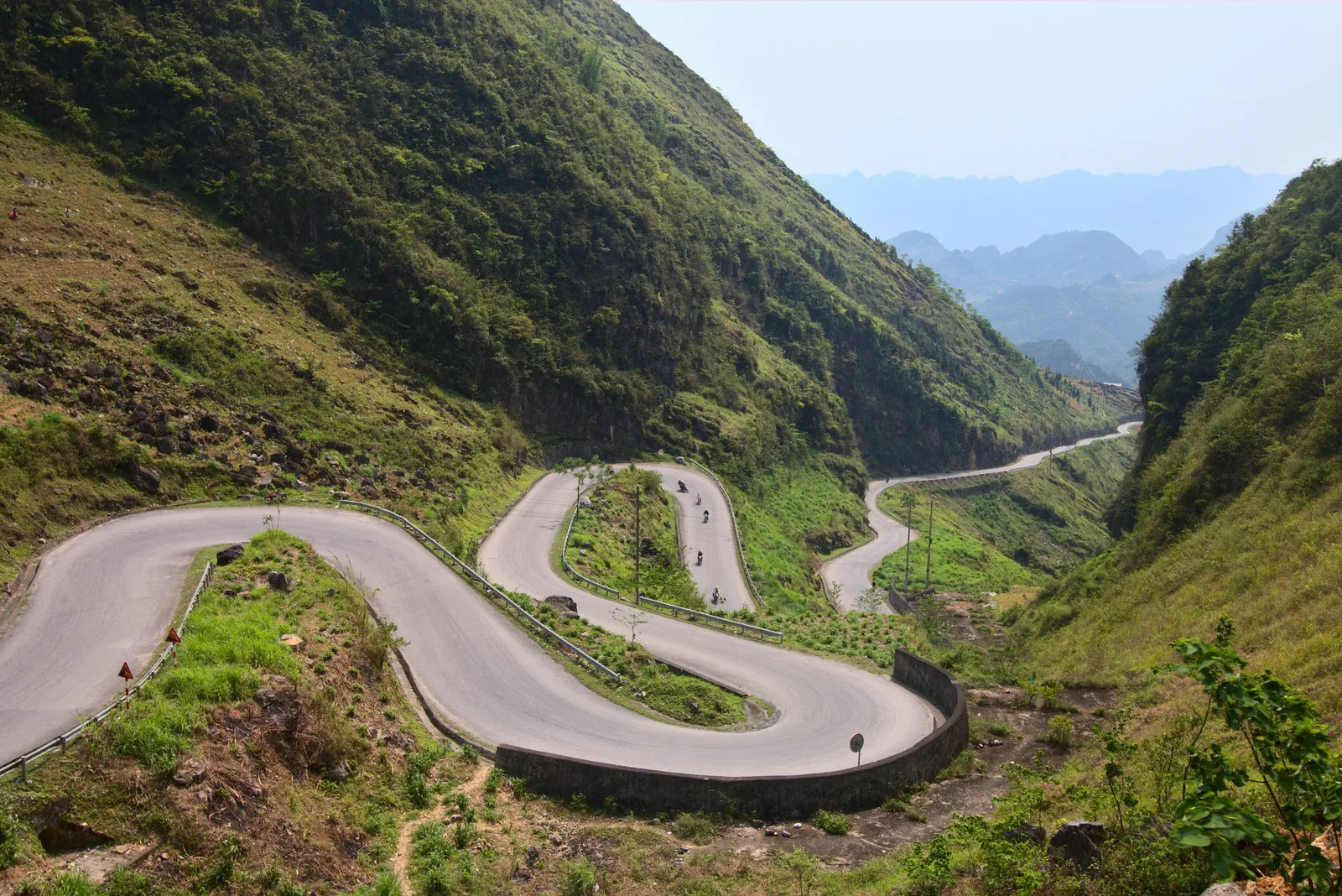
| Landslides | June to September in the north; any heavy rain | Ha Giang and Dong Van, Cao Bang, Lao Cai, Mu Cang Chai | Mountain roads, trails, bridges |
The UK Foreign Office gives the typhoon season as normally May to November, the rain season as June to September in the north and south and October to December in central Vietnam, and reports seasonal flooding in central Vietnam in October and November. Storms can happen outside these months.
Sources: UK Foreign Office — Vietnam safety and security · last checked .
What happened in September 2024
Typhoon Yagi made landfall in northern Vietnam in early September 2024. On 10 September a flash flood buried the hamlet of Lang Nu in Lao Cai province; in Cao Bang, a landslide swept a bus into a flooded stream. A road from Sa Pa to a nearby village was too damaged to drive, and trekking in the province was suspended. At the time, 155 people had been reported dead and 141 missing.
The places in that report — Lao Cai, Sa Pa, Cao Bang — are among the places this guide covers. The lesson for visitors is simple: in a storm warning, the mountains are not the place to wait it out on the road.
Sources: Associated Press via ClickOnDetroit — Typhoon Yagi flash flood (Sept 2024) · last checked .
Site by site
- Phong Nha–Ke Bang. The tourism authority describes October to December as the rainy season, with many caves inaccessible. Son Doong closes from September to December.
- Ban Gioc. June to August brings the most water and the highest landslide risk on the roads to it.
- Mu Cang Chai and Sa Pa. Summer rains and storms close roads and trails; the Khau Pha road is steep and slippery in the wet.
- Dong Van plateau. June to August is the riskiest period for landslides on the passes; fog closes the views in winter.
- Cat Tien. From July to September the river can flood roads and some paths become impassable.
- Bach Ma. Most of the summit’s roughly 8,000 mm of rain falls between September and November.
Sources: Vietnam National Authority of Tourism — a complete guide to Phong Nha; Wikipedia — Hang Son Doong (secondary summary of cited sources); Jungle Boss — Ban Gioc tickets and transport (commercial operator blog); Local Vietnam — Mu Cang Chai guide (independent guide); Vietnam National Authority of Tourism — Ha Giang; UK Foreign Office — Vietnam safety and security; Wikivoyage — Cat Tien National Park (community guide); Oriental Bird Club — Bach Ma National Park (2001 bulletin) · last checked .
How to plan around it
- 01
Choose the season first
Use the nature calendar to avoid each place’s worst months before you book anything.
- 02
Build in a spare day
For any mountain road or cave trip between June and December, keep one unbooked day.
- 03
Watch the forecast
The UK Foreign Office points to the National Centre for Hydro-Meteorological Forecasting and the Japan Meteorological Agency.
- 04
Follow local orders
If authorities close a road or order an evacuation, comply; do not drive around barriers.
- 05
Check insurance
Confirm your policy covers adventure activities, cancellation for weather and evacuation.
Sources: UK Foreign Office — Vietnam safety and security · last checked .
Heat and haze are hazards too
Closures get the headlines, but heat and humidity are the commoner problem. The UK Foreign Office warns that heat and humidity in the rainy season can be severe, with risks of dehydration and heatstroke. On a long cave approach, a terrace climb or a Cat Tien trek in the hot months, start early, carry more water than seems necessary and rest in the shade at midday.
Sources: UK Foreign Office — Vietnam safety and security · last checked .
Signs that a site will not be open
- Several days of heavy rain in the area, even if your day is dry; rivers and slopes respond late.
- A tropical storm forecast to reach the coast within two or three days.
- Brown, fast water in rivers on the way in.
- Fresh mud or rock on the road edge; turn back rather than push on.
- Operators cancelling treks or boats: they know the river better than any forecast.
None of these is a rule. They are reasons to ask at your accommodation, the ticket office or the park headquarters before you set out.
Reading warnings after the 2025 merger
Storm and flood warnings now use the new province names. Since 1 July 2025, a warning for Quang Tri covers the Phong Nha–Ke Bang area, which used to be in Quang Binh; a warning for Lao Cai covers Mu Cang Chai, formerly in Yen Bai; a warning for Tuyen Quang covers the Dong Van plateau and Ha Giang city; and a warning for Lam Dong covers the Dak Nong geopark. Cao Bang and Lang Son kept their names.
If you are following news in English, expect a mix of old and new names for some time. When in doubt, look for the town or commune you are heading to rather than the province.
Sources: Resolution 202/2025/QH15 on provincial reorganisation, LuatVietnam text; Vietnam National Authority of Tourism — the new provincial system · last checked .
What we cannot tell you
This guide is not a live service. A road closed this morning will not appear here. For current conditions, use the official forecast, local news and the people at the site. If you find a closure that contradicts a page, please tell us through the contact page, with the date.
Common questions
Questions readers ask
When is typhoon season in Vietnam?
Normally May to November, according to the UK Foreign Office, though storms can occur at other times.
Which months flood central Vietnam?
October and November are the usual months for seasonal flooding, within a rain season that runs from October to December.
Are the northern mountains safe in summer?
Travel is possible, but June to September is the rain season in the north and landslides block roads. Keep spare days and follow local closures.
Will I get a refund if a cave closes?
That depends on the seller and your insurance, not on this guide. Ask before you pay.
Related
Read next
Seasons
Nature calendar
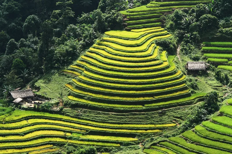
Twelve months of terrace water, green and harvest, waterfall flow, cave season and park conditions.
Read more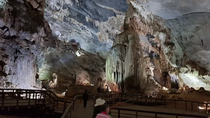
Understand
Caves
Walk-in caves, guided adventure caves and expedition caves: what each involves, with seasons and limits.
Read more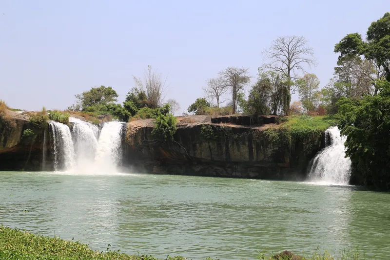
Understand
Waterfalls
How flow changes through the year at Ban Gioc and Dray Nur, and when too much water closes the way.
Read more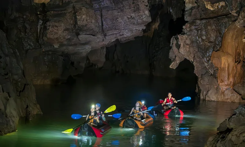
Places · Quang Tri
Phong Nha–Ke Bang
Which caves are walk-in and which are expeditions, the cave season, costs and how to get there.
Read more
Understand
Responsible visiting
Practical rules for caves, terraces, national parks, geoparks and border areas.
Read more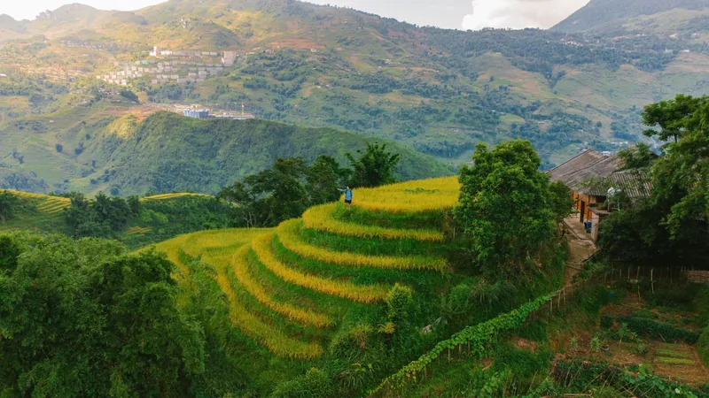
Understand
Rice terraces
What the terraces look like month by month at Mu Cang Chai, Hoang Su Phi and Sa Pa, and why dates move.
Read more
Start planning
Send a correction or a question
Tell us which page you are writing about, what you found on the ground or on an official site, and when. A link to the source helps us check it.