 Caves, terraces, waterfalls and wild places of Vietnam, season by season
Understand
Waterfalls and water levels: too little, enough, too much
A waterfall is the one natural sight whose size you cannot judge from a photograph. The same fall can be a broad white curtain in August and a set of thin threads in March. This page explains the pattern for the falls we cover and the conditions when going is a bad idea.
The basic pattern
Most of Vietnam's waterfalls are fed by rivers whose flow follows the monsoon. In the north, the rains run from about June to September; in the Central Highlands, around Buon Ma Thuot and Da Lat, the tourism authority gives April to October for the rainy season at Da Lat. Flow rises after the rains begin, peaks in the wettest weeks, and falls slowly through the dry season.
That gives three conditions, not two. Too little: late in the dry season, when a fall can look thin. Enough: the weeks after the rains ease, with high water and safer roads. Too much: the peak of the rains, when water is brown, spray is heavy, paths flood and roads to the falls may be closed by landslides.
Sources: UK Foreign Office — Vietnam safety and security; Vietnam National Authority of Tourism — weather and climate · last checked .
Ban Gioc, month by month
| Months | Condition | Notes |
|---|---|---|
| December to February | Low but clear | Gentle flow, clear water |
| March | Too little | Weakest flow of the year |
| April to May | Rising | Rains return |
| June to August | Too much, at times | Highest volume; road landslide risk |
| September to October | Enough | High, clearer water; drier roads |
| November | Easing | Slightly reduced, still blue |
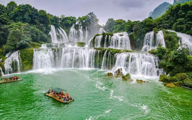
The fall is about 300 metres wide; its height is given as 53 metres by the tourism authority and about 30 metres by other guides. Independent guides also report water releases from upstream in the middle of the day during the dry months, which can change its look for a few hours. The full page is Ban Gioc Waterfall.
Sources: Local Vietnam — Ban Gioc month by month (independent guide); Vietnam National Authority of Tourism — Ban Gioc Waterfall; Vietnam Airlines travel guide — Ban Gioc Waterfall; Jungle Boss — Ban Gioc tickets and transport (commercial operator blog) · last checked .
Dray Nur
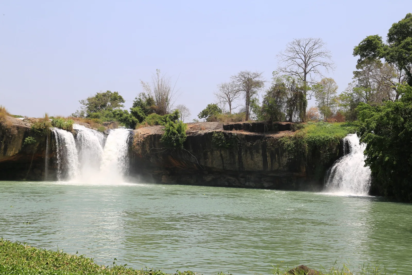
Dray Nur is on the Serepok River in Dak Lak province, about 30 kilometres south of Buon Ma Thuot. The tourism authority describes a fall more than 30 metres high and 250 metres long, a cave behind the curtain of water, and a suspension bridge across the river to Dray Sap, which was in Dak Nong province and is now in Lam Dong after the 2025 merger. E De villages nearby keep brocade weaving and rice grinding.
We could not find an official month-by-month description of Dray Nur's flow, or of how upstream dams on the Serepok affect it. The general Central Highlands pattern applies: high water in and after the rainy season, lower water late in the dry season. If the cave behind the falls is your reason to go, ask locally whether the path is open: high water and wet rock make it the first part to close.
Sources: Vietnam National Authority of Tourism — Dray Nur Waterfall; Resolution 202/2025/QH15 on provincial reorganisation, LuatVietnam text; Vietnam National Authority of Tourism — weather and climate · last checked .
Falls inside national parks and geoparks
Many smaller falls are inside protected areas. Cat Tien lists several, and the Dak Nong geopark's recognition mentioned waterfalls alongside its volcanic craters and caves. These are often reached on forest trails, which matters for timing: the months with the most water are also the months of leeches, mud and flooded paths. At Cat Tien, the peak rains from July to September can flood roads and make some paths impassable.
Sources: Nature and Biodiversity Conservation Agency — Cat Tien National Park; Government news portal — Dak Nong recognised (2020); Wikivoyage — Cat Tien National Park (community guide) · last checked .
When too much water is the problem
- Brown, fast water. After heavy rain, rafts are withdrawn and viewing points near the water may be closed.
- Roads. The UK Foreign Office warns that landslides block roads and damage bridges in the rain season; most waterfalls are at the end of mountain roads.
- Swimming. Pools below falls have strong currents. At Ban Gioc swimming is not allowed except where guides or signs permit it.
- Flash floods. During Typhoon Yagi in September 2024, a flash flood buried a hamlet in Lao Cai and a landslide swept a bus into a stream in Cao Bang. Stay away from riverbeds and gullies in heavy rain.
Sources: UK Foreign Office — Vietnam safety and security; Vietnam Airlines travel guide — Ban Gioc Waterfall; Associated Press via ClickOnDetroit — Typhoon Yagi flash flood (Sept 2024) · last checked .
How to judge the flow before you travel
- Look at the rain of the last two weeks, not the forecast for your day; rivers respond to what has already fallen.
- Ask your accommodation for a photograph taken that day or the day before; it is the quickest honest answer.
- In the dry months at Ban Gioc, ask whether and when water is being released upstream.
- In the wet months, ask whether the road is open and whether rafts are running; both stop in high water.
- If the fall is the only reason for a long journey, keep the date flexible by a day or two.
None of this needs an official source; it needs a local one. Fall heights and widths are fixed, but what you see on the day depends on the river.
Sources: Jungle Boss — Ban Gioc tickets and transport (commercial operator blog) · last checked .
Choosing the month
For a large fall in the north, September and October are the usual compromise between volume and access. For photography of clear water and tiers, December can be rewarding at Ban Gioc even with less water. For the Central Highlands, aim for the end of the rainy season rather than its peak, and check road conditions the day before. Avoid planning a waterfall visit as the only goal of a long journey in March and April.
Common questions
Questions readers ask
When is Ban Gioc at its fullest?
June to August, when the roads are also at their riskiest. September and October are the usual compromise.
Can I swim under the waterfalls?
At Ban Gioc, not unless guides or signs say so. Pools below falls have deep currents in high water.
Where is Dray Nur?
On the Serepok River in Dak Lak province, about 30 km south of Buon Ma Thuot.
Why do some guides say Ban Gioc is 30 metres and others 53?
The tourism authority gives 53 metres; most other guides describe a drop of about 30 metres in several tiers. The difference is probably what is being measured.
Related
Read next
Places · Cao Bang
Ban Gioc Waterfall
Flow month by month, the border rules, tickets, transport from Hanoi and Cao Bang, and when to skip it.
Read more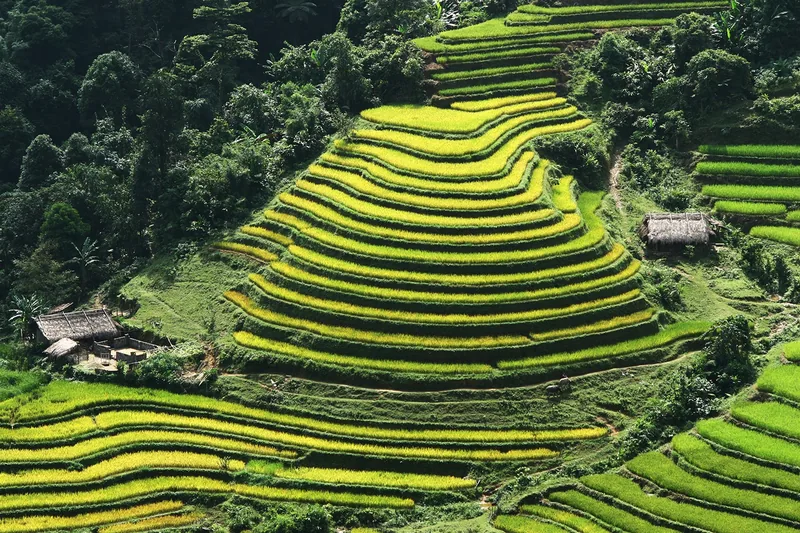
Seasons
Nature calendar
Twelve months of terrace water, green and harvest, waterfall flow, cave season and park conditions.
Read more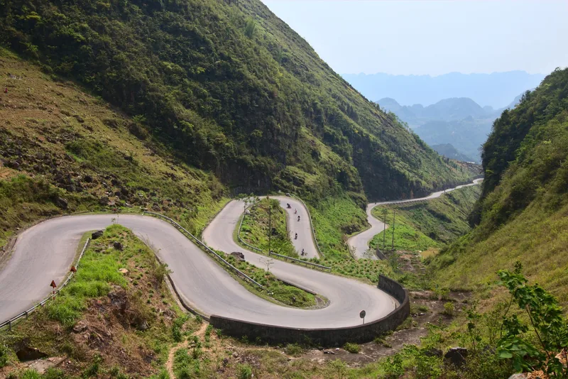
Understand
Weather and closures
Which months bring typhoons, floods and landslides, which sites they close, and how to plan around them.
Read more
Understand
UNESCO Global Geoparks
The four UNESCO Global Geoparks: dates, areas, what each is known for and how to visit them.
Read more
Understand
National parks and wildlife
Cuc Phuong, Cat Tien and Bach Ma: likely sightings, what needs luck, seasons and rescue centres.
Read more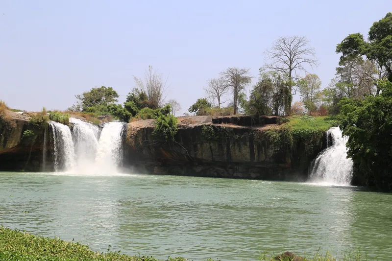
Start planning
Send a correction or a question
Tell us which page you are writing about, what you found on the ground or on an official site, and when. A link to the source helps us check it.