 Caves, terraces, waterfalls and wild places of Vietnam, season by season
Places · Tuyen Quang
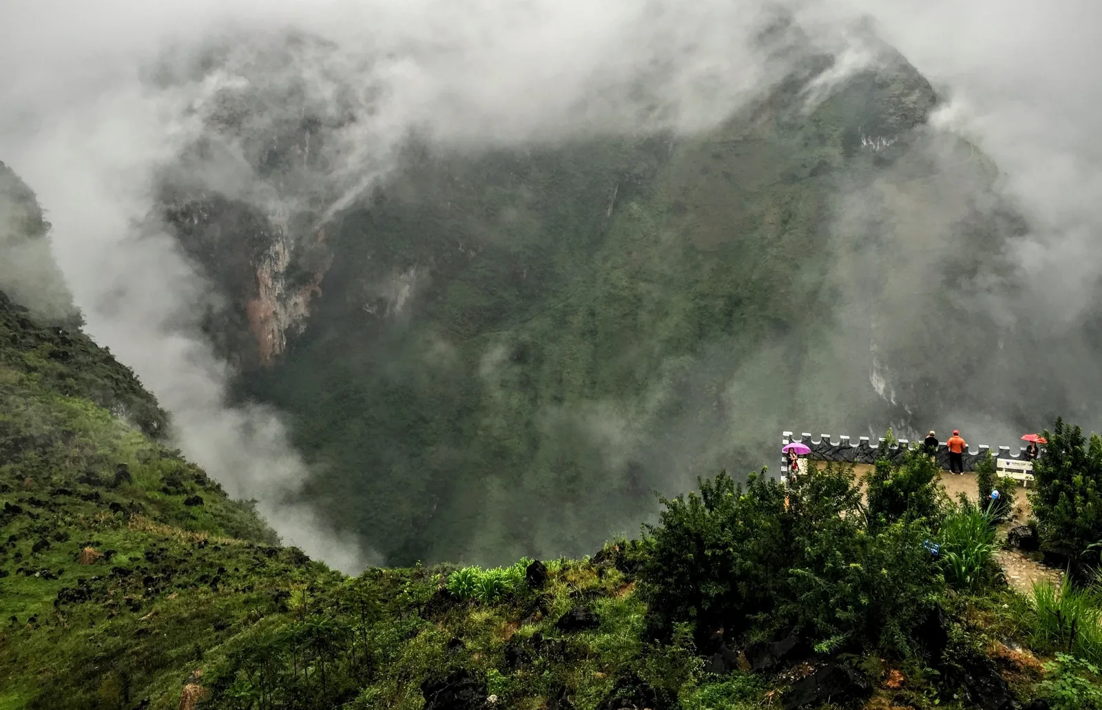
Dong Van Karst Plateau: grey stone, deep canyons, border villages
Vietnam's first UNESCO Global Geopark covers 2,356 km² of limestone in the far north, against the Chinese border. The landscape is the attraction and the road is the experience: long mountain passes, small towns and Sunday markets, with weather that decides what you will see.
At a glance
- Province
- Tuyen Quang (was Ha Giang)
- Geopark area
- 2,356 km²
- Highest point
- Mieu Vac, 1,971 m
- Season
- September to November
- From Hanoi
- 6–7 hours to Ha Giang city
- Nights
- 3–4
What the plateau is
The Dong Van Karst Plateau joined the Global Geoparks Network in October 2010, has held the UNESCO Global Geopark title since 2015, and has been revalidated since, with a third recognition celebrated in October 2023. UNESCO gives its area as 2,356 km², with karst covering about 60 per cent of the surface; a 2019 state media report gives about 80 per cent limestone. The rocks record more than 500 million years, from the Cambrian onwards, including two mass-extinction boundaries.
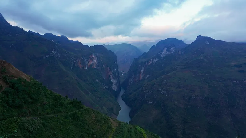
Seventeen ethnic groups live on the plateau, and the geopark's own description notes about 200 Tonkin snub-nosed monkeys; UNESCO describes the plateau as the only place where the species can still be found. The highest summit is Mieu Vac at 1,971 metres; the Tu San canyon on the Nho Que river is 700 to 800 metres deep.
Since 1 July 2025 the plateau has been in Tuyen Quang province, after Ha Giang was merged into it. Ha Giang city remains the starting point for the road north.
Sources: UNESCO — Dong Van Karst Plateau UNESCO Global Geopark; Ha Giang provincial portal — Dong Van recognised for a third time; VietNamNet — Dong Van Karst Plateau Geopark (2019); Resolution 202/2025/QH15 on provincial reorganisation, LuatVietnam text · last checked .
What you see along the road
- Quan Ba, which the tourism authority calls the gateway to the geopark.
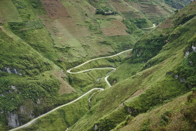
- Ma Pi Leng, a pass of about 20 km at over 1,200 metres on Highway 4C between Dong Van and Meo Vac, above the Nho Que river.
- Tu San canyon, the deep gorge of the Nho Que below the pass.
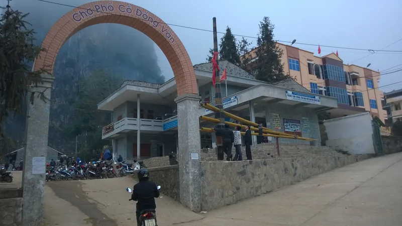
- Dong Van old street and the Vuong family mansion, cultural sites inside the geopark.
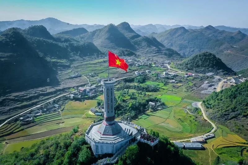
- Lung Cu, with its flagpole on a hilltop near the border.
- Khau Vai, whose market the provincial portal lists among the plateau's attractions.
Sources: Ha Giang provincial portal — Dong Van recognised for a third time; Zing Home Ha Giang — Ma Pi Leng and seasons (local guide); Vietnam National Authority of Tourism — Ha Giang; UNESCO — Dong Van Karst Plateau UNESCO Global Geopark · last checked .
When to go
Our reading of the cited guides: filled = golden rice in September or buckwheat flowers in October and November; half = dry and cool spring, or a cold clear winter day; empty = summer rain and landslide risk.
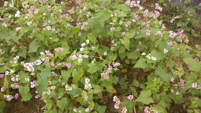
The tourism authority recommends September to November: rice terraces turn golden in September and buckwheat flowers from October to November. A local guide adds March to May as a dry, cool alternative. December to February is cold, with fog on the passes.
June to August is the rainy season in the north, and the UK Foreign Office warns that landslides block roads and damage bridges. On a route that is almost entirely mountain road, a single landslide can strand you for a day.
Sources: Vietnam National Authority of Tourism — Ha Giang; Zing Home Ha Giang — Ma Pi Leng and seasons (local guide); UK Foreign Office — Vietnam safety and security; Vietnam National Authority of Tourism — weather and climate · last checked .
Permits and border areas
Parts of the plateau lie close to the Chinese border. The UK Foreign Office says that visiting a village, commune or ward near the border may require permission from the provincial police, and that border areas may be unmarked. Independent guides refer to a separate border permit for Ha Giang that does not cover Cao Bang.
We could not confirm the current permit procedure for foreign visitors after the 2025 merger from an official source. Ask your accommodation in Ha Giang city, or the provincial police, before you set out, and carry your passport.
Sources: UK Foreign Office — Vietnam safety and security; Jungle Boss — Ban Gioc tickets and transport (commercial operator blog) · last checked .
How many nights
From Ha Giang city, a road loop through Quan Ba, Yen Minh, Dong Van and Meo Vac takes three to four days at a pace that allows stops; this is a planning estimate based on the distances and passes involved, not a rule. Add a night in Ha Giang city at each end, after six to seven hours from Hanoi.
Shorter trips are possible but spend most of the time on the road, and fog can erase the views on any given morning. If Ma Pi Leng is the point of the trip, plan two chances to see it.
Getting there
The tourism authority gives about six to seven hours from Hanoi to Ha Giang city by car or sleeper bus. Most travellers then continue by motorbike, with a hired rider, or by car. Riding yourself is the riskiest option: the UK Foreign Office says riding a motorbike in Vietnam is much riskier than in the UK and that inexperienced riders should not hire one.
Sources: Vietnam National Authority of Tourism — Ha Giang; UK Foreign Office — Vietnam safety and security · last checked .
What it costs
We could not find official or dated prices for transport, guides or entry on the plateau that we would cite. Costs vary mainly with how you travel: self-riding, a motorbike with a local rider, or a car. Ask for a written quote that names the vehicle, the number of days and what happens if a landslide closes the road. Check before you go.
Pictures
Who should skip it, and when not to go
- Inexperienced riders planning to ride themselves: the passes are steep, narrow and shared with trucks.
- Anyone with fewer than three days from Ha Giang city: most of the time would be spent on the road.
- Travellers in June to August who cannot absorb a lost day to a landslide.
- People who get badly carsick: the route is a long series of switchbacks.
- Visitors unwilling to carry a passport and check border-area rules.
Other pages that help
- UNESCO Global Geoparks of Vietnam
- Ban Gioc Waterfall, further east along the border
- Rice terraces by season, including Hoang Su Phi
- Weather and site closures
Common questions
Questions readers ask
Is Ha Giang still a province?
No. Since 1 July 2025 it has been part of Tuyen Quang province. Ha Giang city is still the starting point and the name is still widely used.
Do foreigners need a permit for Dong Van?
Areas close to the border may need permission from the provincial police. We could not confirm the current procedure from an official source; ask locally before you set out.
When do the buckwheat flowers bloom?
October to November, according to the tourism authority.
How deep is the Nho Que canyon?
UNESCO gives 700 to 800 metres for Tu San canyon, the deepest part.
Related
Read next
Understand
UNESCO Global Geoparks
The four UNESCO Global Geoparks: dates, areas, what each is known for and how to visit them.
Read more
Understand
Rice terraces
What the terraces look like month by month at Mu Cang Chai, Hoang Su Phi and Sa Pa, and why dates move.
Read more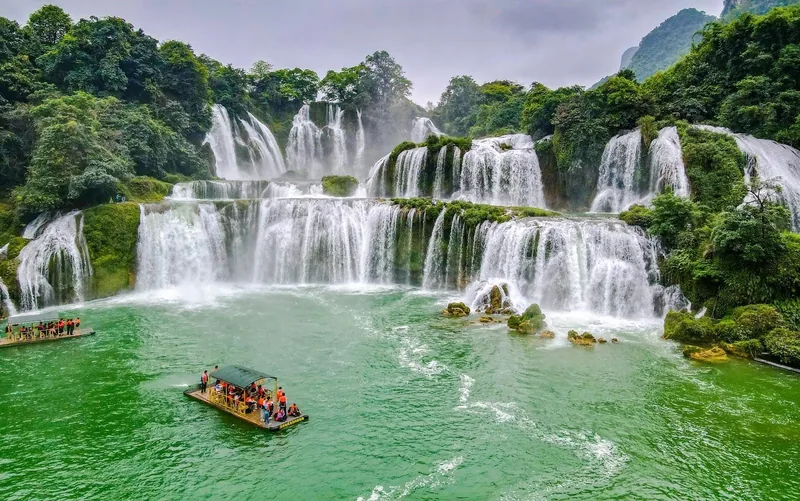
Places · Cao Bang
Ban Gioc Waterfall
Flow month by month, the border rules, tickets, transport from Hanoi and Cao Bang, and when to skip it.
Read more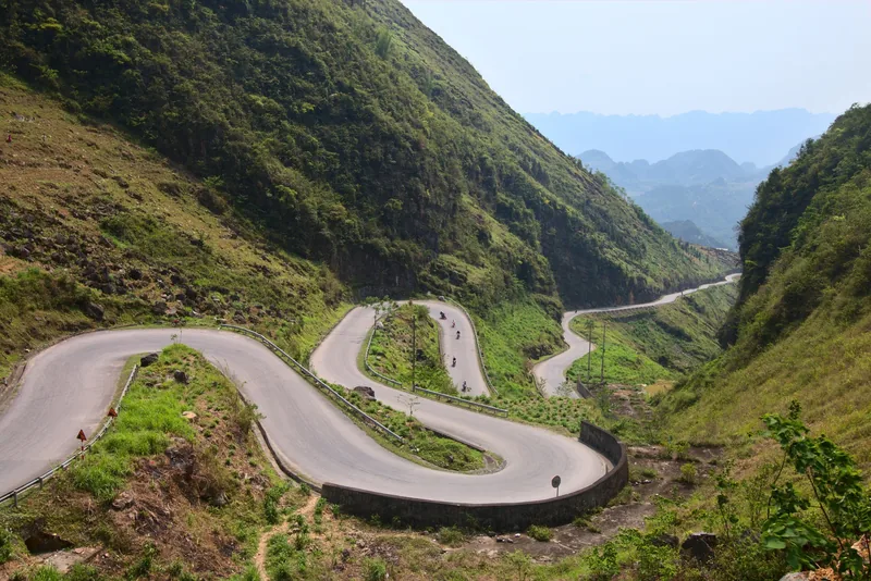
Understand
Weather and closures
Which months bring typhoons, floods and landslides, which sites they close, and how to plan around them.
Read more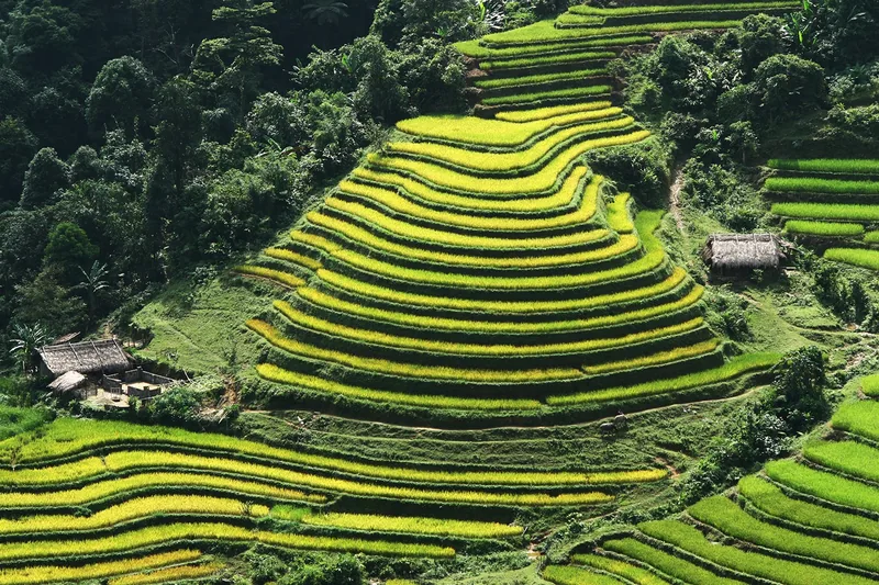
Seasons
Nature calendar
Twelve months of terrace water, green and harvest, waterfall flow, cave season and park conditions.
Read more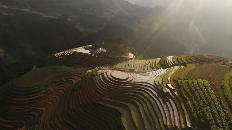
Places
Places
Side-by-side comparison of the four places covered in depth: seasons, travel times and access.
Read more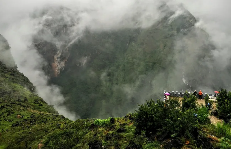
Start planning
Send a correction or a question
Tell us which page you are writing about, what you found on the ground or on an official site, and when. A link to the source helps us check it.