 Caves, terraces, waterfalls and wild places of Vietnam, season by season
Seasons
The nature calendar: what each landscape is doing, month by month
This is the page the rest of the guide hangs on. It sets the terrace seasons, waterfall flow, cave access and park conditions side by side for twelve months, with the source for each row and the date we checked it.
The chart
Our reading of the cited sources. Filled = the landscape at its peak with workable access; half = worth going with trade-offs; empty = little to see, heavy rain, floods or closures likely.
Read it as a summary, not a forecast. A late monsoon moves the terrace dates by a week or two; a single storm can close a cave in a month marked as good. The sections below give the detail behind each row.
Sources: Vietnam National Authority of Tourism — Mu Cang Chai water-pouring season; Local Vietnam — Mu Cang Chai guide (independent guide); Vietnam National Authority of Tourism — Ha Giang; Local Vietnam — Ban Gioc month by month (independent guide); Vietnam National Authority of Tourism — a complete guide to Phong Nha; Viet Nam News — butterfly season in Cuc Phuong (2019); Vinpearl — Cuc Phuong guide (commercial guide); vietnamtourism.com — Cat Tien gibbons and night safaris (commercial guide); Wikivoyage — Cat Tien National Park (community guide); Oriental Bird Club — Bach Ma National Park (2001 bulletin) · last checked .
January to March
North. Cold, misty and often grey in the mountains, with occasional snow in Sa Pa in January, according to the tourism authority. Terraces are bare. Ban Gioc runs gently and clear, and is at its weakest around March. Fog sits on the Dong Van passes on many mornings.
Centre. The cave season restarts in Phong Nha after the end-of-year rains; the Son Doong expeditions begin in January, and Hang Va's rock pools are at their fullest from January to March. Bach Ma is cool and drizzly.
South. The dry season at Cat Tien, with drier trails and fewer leeches. In Cuc Phuong, January to April is the birdwatching window.
Sources: Vietnam National Authority of Tourism — weather and climate; Local Vietnam — Ban Gioc month by month (independent guide); Vietnam National Authority of Tourism — a complete guide to Phong Nha; Wikipedia — Hang Son Doong (secondary summary of cited sources); Oriental Bird Club — Bach Ma National Park (2001 bulletin); vietnamtourism.com — Cat Tien gibbons and night safaris (commercial guide); Vinpearl — Cuc Phuong guide (commercial guide) · last checked .
April to June
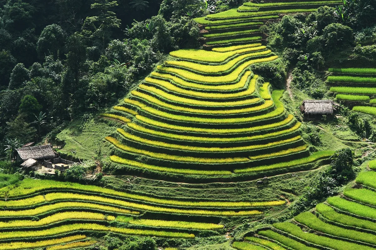
North. Warm and clearer. Ban Gioc's flow starts rising in April and May. On the terraces, water is poured in late May and early June at Mu Cang Chai, the most photographed moment of the farming year; by the end of June the young rice has turned the mirrors green.
Centre. Main cave season at Phong Nha, hot outside and 20 to 22°C inside the caves. April to July is the birding window at Bach Ma, before the rains.
South and Cuc Phuong. Butterfly season in Cuc Phuong runs in April and May, with about 400 species recorded; it is also the park's busiest time. Cat Tien's rains start around mid-May.
Sources: Vietnam National Authority of Tourism — weather and climate; Local Vietnam — Ban Gioc month by month (independent guide); Vietnam National Authority of Tourism — Mu Cang Chai water-pouring season; Local Vietnam — Mu Cang Chai guide (independent guide); Jungle Boss — Paradise Cave guide (commercial operator blog, Vietnamese); Oriental Bird Club — Bach Ma National Park (2001 bulletin); Viet Nam News — butterfly season in Cuc Phuong (2019); Wikivoyage — Cat Tien National Park (community guide) · last checked .
July to September
North. The rainy season. Terraces are deep green through July and August and begin to turn gold in September. Ban Gioc is at its most powerful from June to August, but mountain roads see landslides; the UK Foreign Office gives June to September as the rain season in the north. September is the first good month on the Dong Van plateau, with golden rice.
Centre. Caves still open in July and August; Son Doong's season ends in August. Rain at Bach Ma begins in early September.
South. Peak rains at Cat Tien from July to September; the river can flood roads and some paths become impassable.
Sources: UK Foreign Office — Vietnam safety and security; Local Vietnam — Ban Gioc month by month (independent guide); Local Vietnam — Mu Cang Chai guide (independent guide); Vietnam National Authority of Tourism — Ha Giang; Wikipedia — Hang Son Doong (secondary summary of cited sources); Oriental Bird Club — Bach Ma National Park (2001 bulletin); Wikivoyage — Cat Tien National Park (community guide) · last checked .
October to December
North. Early October is the peak of the Mu Cang Chai harvest; many fields are cut after mid-October. Buckwheat flowers on the Dong Van plateau from October to November. Ban Gioc stays strong into October, with clearer, bluer water as the rain eases.
Centre. The tourism authority calls October to December the rainy season at Phong Nha, when many caves cannot be reached; the UK Foreign Office reports seasonal flooding in central Vietnam in October and November. Bach Ma's summit receives most of its roughly 8,000 mm of annual rain between September and November.
South. Rain at Cat Tien decreases through October and November; December starts the dry season.
Sources: Local Vietnam — Mu Cang Chai guide (independent guide); Vietnam National Authority of Tourism — Ha Giang; Local Vietnam — Ban Gioc month by month (independent guide); Vietnam National Authority of Tourism — a complete guide to Phong Nha; UK Foreign Office — Vietnam safety and security; Oriental Bird Club — Bach Ma National Park (2001 bulletin); Wikivoyage — Cat Tien National Park (community guide) · last checked .
What the chart leaves out
The chart covers the landscapes in this guide, not the whole country. It says nothing about beaches, cities or the heat of the south in April. It also treats each place as a single point, when altitude matters: on the same day in late September, a low valley near Mu Cang Chai can be mid-harvest while the highest terraces are still ripening. Finally, it assumes ordinary years. In a year with a late monsoon or a major storm, such as Typhoon Yagi in September 2024, the north-west can be closed to visitors for days, whatever the chart says.
Sources: Associated Press via ClickOnDetroit — Typhoon Yagi flash flood (Sept 2024) · last checked .
Using the calendar to plan
- Pick the one landscape that matters most to you and fix the month around it.
- Check the second and third places against the chart; accept a half-filled month rather than a long detour.
- Leave a spare day for any mountain road or cave trip between June and December, when rain is most likely to close something.
- A week before you go, read the official forecast and local news; the chart cannot tell you about this year.
September and October suit most of the north at once. They are also the start of the worst months for caves and floods in the centre. A single trip that wants both will compromise on one.
Common questions
Questions readers ask
What is the single month with the most going on?
September, in the north: golden terraces, a strong Ban Gioc and the first dry weeks on the passes. Phong Nha is still accessible in September but its rainy season follows.
Is there anything worth seeing in winter?
Yes. The caves of Phong Nha reopen from January, Cat Tien is in its dry season, and Ban Gioc is clear if not full. The northern terraces are bare.
How reliable are these dates?
They are season patterns taken from the sources shown, not forecasts. Farming dates move with the rain, and storms do not follow calendars.
Where can I check this year’s conditions?
The UK Foreign Office points to the National Centre for Hydro-Meteorological Forecasting for storm warnings. Local news and your accommodation are the quickest sources for road closures.
Related
Read next
Understand
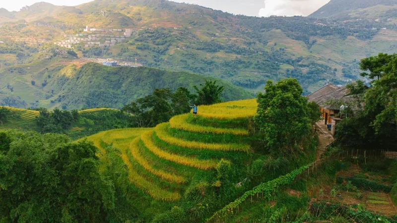
Rice terraces
What the terraces look like month by month at Mu Cang Chai, Hoang Su Phi and Sa Pa, and why dates move.
Read more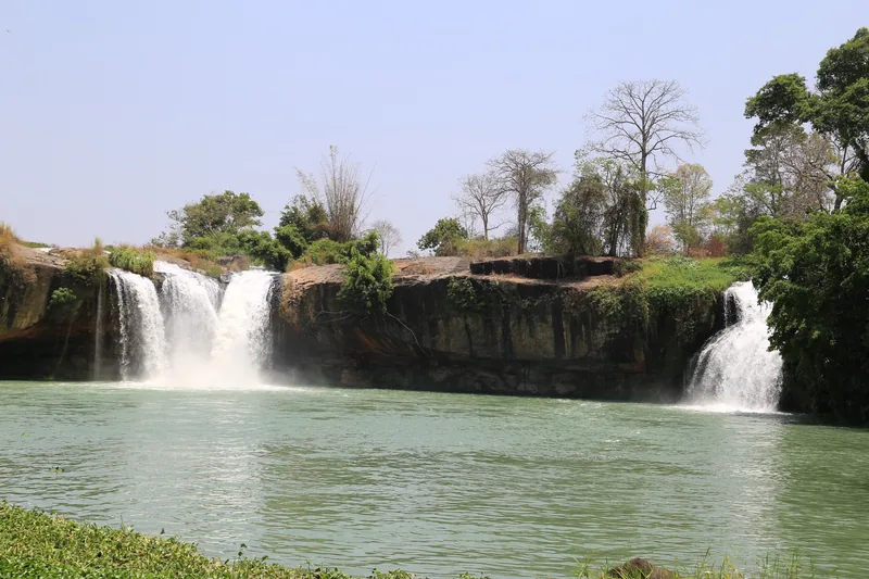
Understand
Waterfalls
How flow changes through the year at Ban Gioc and Dray Nur, and when too much water closes the way.
Read more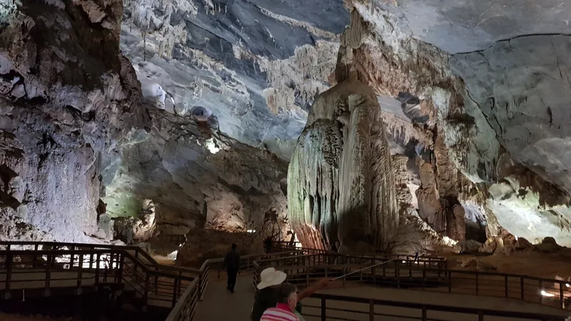
Understand
Caves
Walk-in caves, guided adventure caves and expedition caves: what each involves, with seasons and limits.
Read more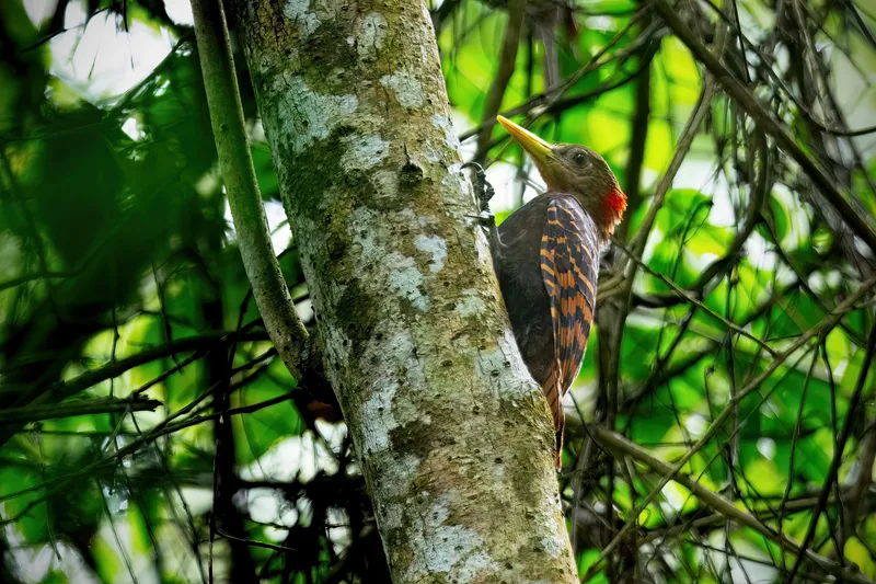
Understand
National parks and wildlife
Cuc Phuong, Cat Tien and Bach Ma: likely sightings, what needs luck, seasons and rescue centres.
Read more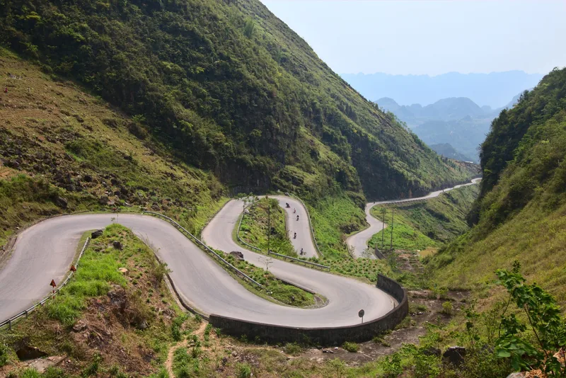
Understand
Weather and closures
Which months bring typhoons, floods and landslides, which sites they close, and how to plan around them.
Read more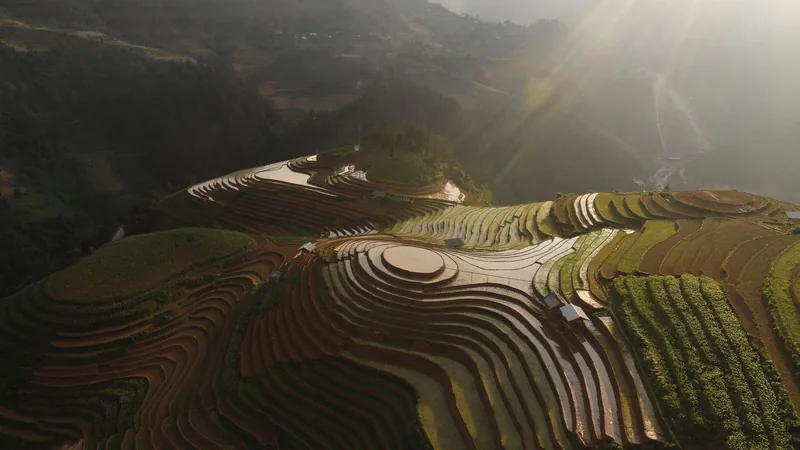
Places
Places
Side-by-side comparison of the four places covered in depth: seasons, travel times and access.
Read more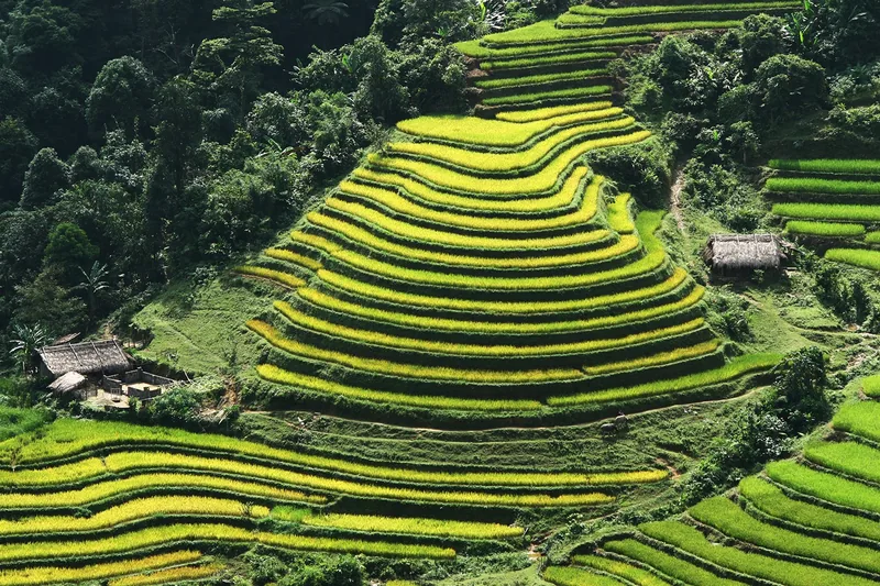
Start planning
Send a correction or a question
Tell us which page you are writing about, what you found on the ground or on an official site, and when. A link to the source helps us check it.