 Caves, terraces, waterfalls and wild places of Vietnam, season by season
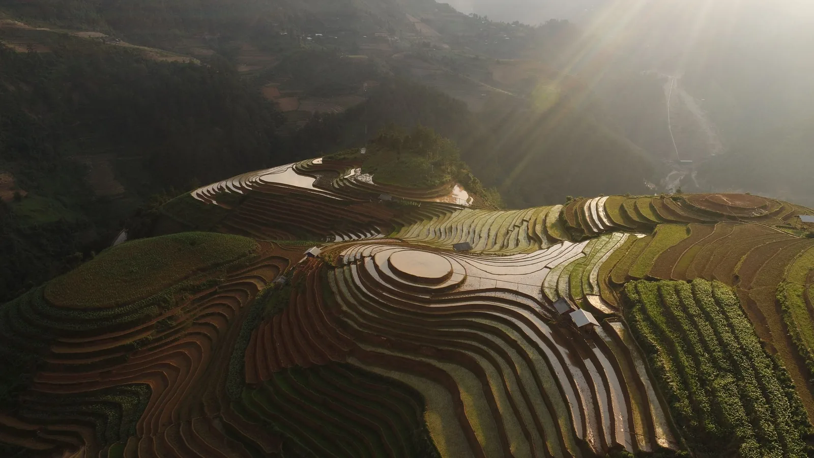
Places
Four places, four different calendars
The four landscapes this guide covers in depth have almost nothing in common except distance from the nearest airport. This page compares them on season, travel time, access rules and the reasons to leave each one out.
Choose a place
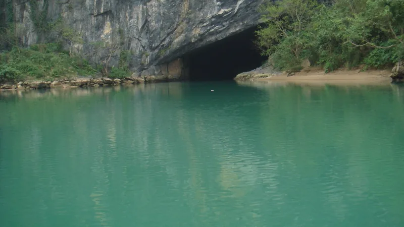
Quang Tri · caves
Phong Nha–Ke Bang
River caves by boat, a dry cave on a walkway, and expedition caves by permit.
Read the Phong Nha page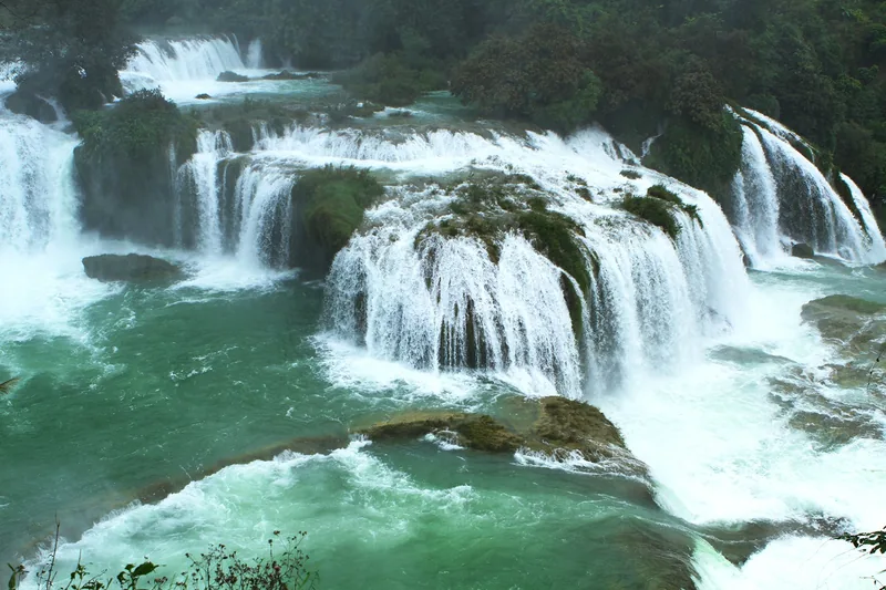
Cao Bang · waterfall
Ban Gioc Waterfall
A wide border waterfall whose flow changes more than its visitors expect.
Read the Ban Gioc page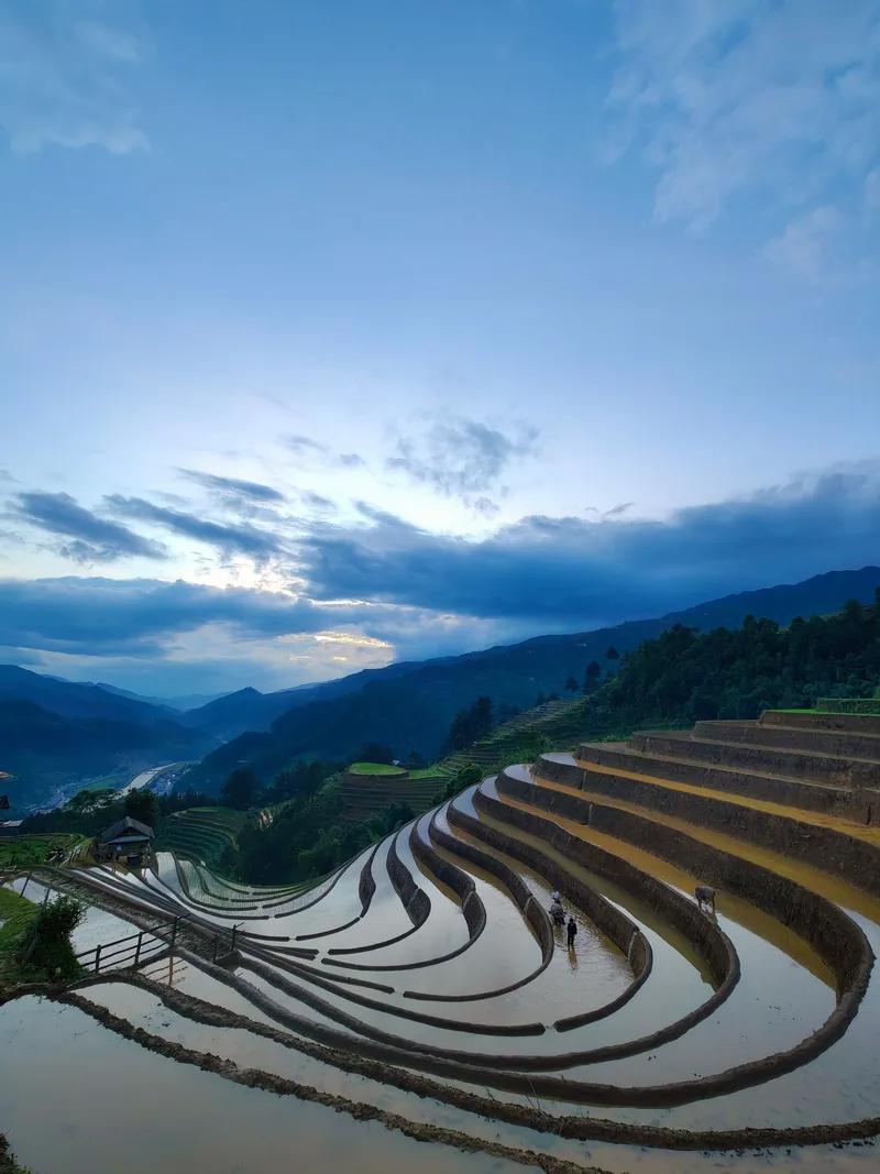
Lao Cai · terraces
Mu Cang Chai
Hmong terraces with three short windows: water, green and harvest.
Read the Mu Cang Chai page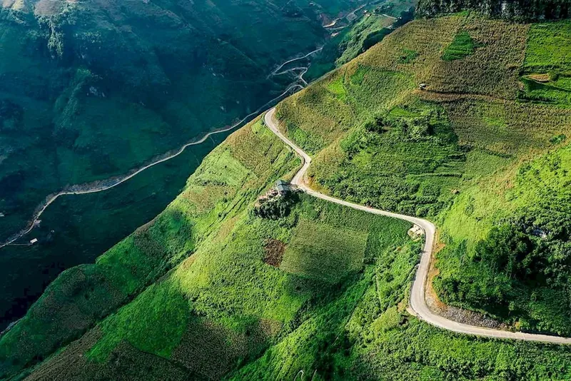
Tuyen Quang · geopark
Dong Van Karst Plateau
A geopark of grey limestone, deep canyons and border villages.
Read the Dong Van pageSide by side
| Phong Nha–Ke Bang | Ban Gioc | Mu Cang Chai | Dong Van | |
|---|---|---|---|---|
| Province since July 2025 | Quang Tri (was Quang Binh) | Cao Bang (unchanged) | Lao Cai (was Yen Bai) | Tuyen Quang (was Ha Giang) |
| What you come for | Caves | Waterfall | Rice terraces | Karst plateau and passes |
| Peak window | March to August for most caves | September to October | Late May to early June; September to early October | September to November |
| Months to avoid | October to December | March, if you want volume | November to April for the rice | June to August on the passes |
| From Hanoi | Flight to Dong Hoi, or about 9 hours by sleeper bus | About 6 to 8 hours to Cao Bang, then about 2 hours | About 7 to 8 hours by road | About 6 to 7 hours to Ha Giang city |
| Access rule to know | Son Doong: permit, fitness test, about 1,000 places a year | Border zone; no crossing to the Chinese side | Steep, unmarked tracks to viewpoints | Border communes may need police permission |
Sources: Resolution 202/2025/QH15 on provincial reorganisation, LuatVietnam text; Vietnam National Authority of Tourism — a complete guide to Phong Nha; Dan Tri International — Son Doong places booked to 2027 (31 March 2026); Local Vietnam — Ban Gioc month by month (independent guide); Jungle Boss — Ban Gioc tickets and transport (commercial operator blog); Vietnam National Authority of Tourism — Mu Cang Chai water-pouring season; Local Vietnam — Mu Cang Chai guide (independent guide); Vietnam National Authority of Tourism — Ha Giang; UK Foreign Office — Vietnam safety and security · last checked .
How the four fit together
Three of the four are in the far north, within a long day's drive of Hanoi but a long way from each other. Ban Gioc and Dong Van both sit on the Chinese border, in Cao Bang and in the former Ha Giang province respectively, and travellers often link them along the border roads. Mu Cang Chai lies to the west, on the road between Hanoi and the Sa Pa area, and pairs more naturally with the north-west than with the border east.
Phong Nha–Ke Bang is in the narrow centre of the country, close to the Lao border. It has its own airport at Dong Hoi and a station on the north–south railway, so it fits a route along the coast rather than a loop through the mountains. The national parks of Cuc Phuong, Cat Tien and Bach Ma are covered on the wildlife page rather than here, because the question there is what you will see, not how to get in.
Sources: Vietnam National Authority of Tourism — a complete guide to Phong Nha · last checked .
Matching the places to a month
No single month suits all four. September is the nearest thing to a shared window in the north: the rice is golden at Mu Cang Chai and on the Ha Giang terraces, Ban Gioc is still full after the summer rains, and the passes are drying out. The trade-off is Phong Nha, where the rainy season begins around October and many caves become unreachable until the new year.
For a trip built around caves, March to August works, with the cave expeditions starting earlier in the year. For a trip built around water on the terraces, aim for the last days of May and the first week of June, and accept that Ban Gioc will be rising rather than at its fullest. The nature calendar shows the overlaps month by month.
Sources: Vietnam National Authority of Tourism — a complete guide to Phong Nha; Vietnam National Authority of Tourism — Mu Cang Chai water-pouring season; Local Vietnam — Ban Gioc month by month (independent guide); Vietnam National Authority of Tourism — Ha Giang · last checked .
How many days each place needs
- Phong Nha–Ke Bang: two full days covers Phong Nha Cave by boat and Paradise Cave; add a day for Hang Toi or a day trek, more for multi-day caves.
- Ban Gioc: a night in Cao Bang city and a long day out, or a night near the falls to see it in the early morning.
- Mu Cang Chai: two nights, because the viewpoints are spread over 25 to 30 kilometres of mountain road and cloud can hide them for a morning.
- Dong Van: three to four days from Ha Giang city on the road loop, more if you walk.
These are planning estimates based on the distances in the sources on each place page, not rules.
Places not covered in depth, yet
Sa Pa, Hoang Su Phi, Dray Nur, the Dak Nong and Lang Son geoparks, and the caves of Ha Long Bay and Trang An appear on the understanding pages — the calendar, the terraces, the waterfalls, the geoparks — rather than as places of their own. We would rather write four places properly than twelve thinly. If you have been somewhere recently and found the facts different from what we say, the contact page is the way to tell us.
Common questions
Questions readers ask
Can I combine Ban Gioc and Dong Van in one trip?
Yes. Both are on the Chinese border in the far north. Allow several days, because the roads between them are mountain roads, and avoid the summer rains when landslides close sections.
Which place is easiest to reach from Hanoi?
Phong Nha, by flight to Dong Hoi, in terms of time. By road, Ha Giang city and Cao Bang city are each six to eight hours from Hanoi.
Is there a month that suits all four?
No. September comes closest in the north, but Phong Nha enters its rainy season from October.
Why are national parks not on this page?
They are covered on the national parks and wildlife page, which deals with what you can realistically see.
Related
Read next
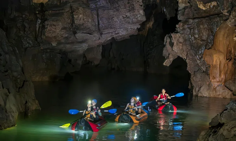
Places · Quang Tri
Phong Nha–Ke Bang
Which caves are walk-in and which are expeditions, the cave season, costs and how to get there.
Read more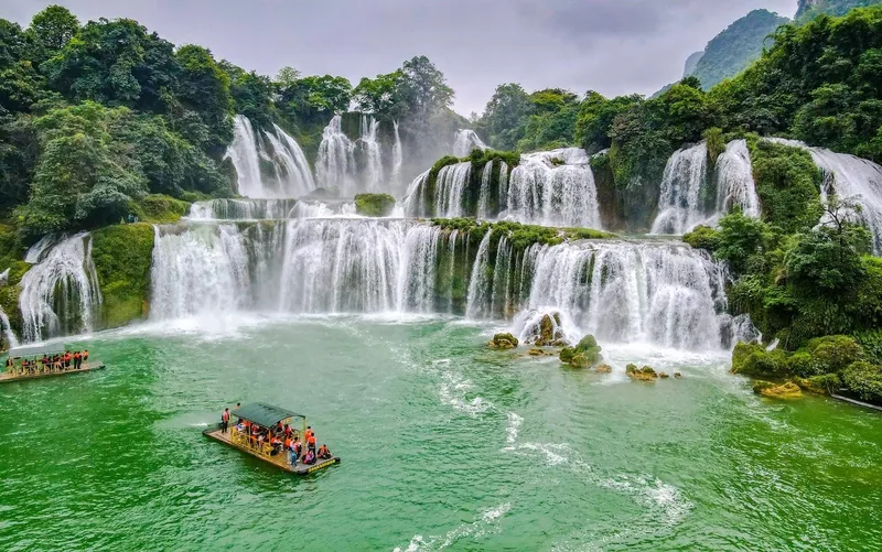
Places · Cao Bang
Ban Gioc Waterfall
Flow month by month, the border rules, tickets, transport from Hanoi and Cao Bang, and when to skip it.
Read more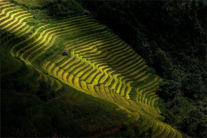
Places · Lao Cai
Mu Cang Chai
Planting, green and harvest months, the viewpoints, the road from Hanoi, rough costs and when not to go.
Read more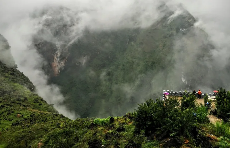
Places · Tuyen Quang
Dong Van Karst Plateau
The geopark, Ma Pi Leng and the Nho Que canyon, seasons, permits, the road from Hanoi and when to skip it.
Read more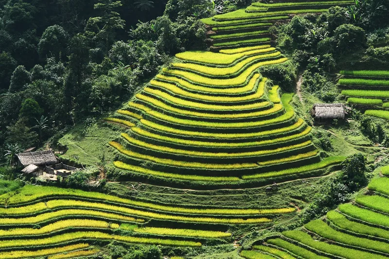
Seasons
Nature calendar
Twelve months of terrace water, green and harvest, waterfall flow, cave season and park conditions.
Read more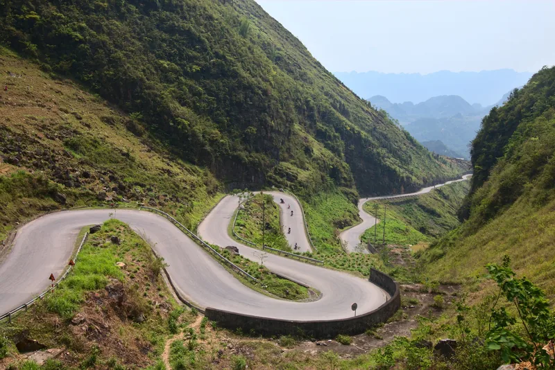
Understand
Weather and closures
Which months bring typhoons, floods and landslides, which sites they close, and how to plan around them.
Read more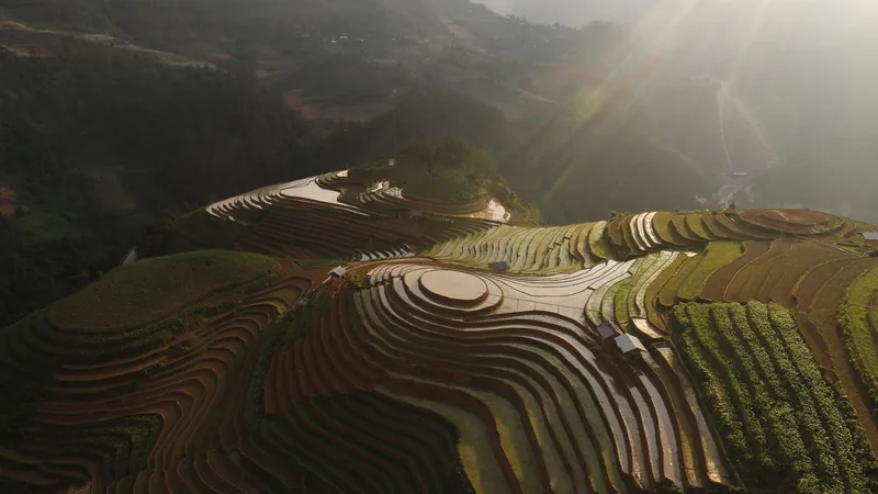
Start planning
Send a correction or a question
Tell us which page you are writing about, what you found on the ground or on an official site, and when. A link to the source helps us check it.